Cloud of the Day – Altocumulus Castellanus
Altocumulus castellanus is a middle etage cloud similar to the lower etage cumulus species. It’s like ordinary altocumulus, but with significant vertical development. It’s as if a towering cumulus grew upward from a base of altocumulus. The name suggests the castle-like shape which, when a row of them develops, appears somewhat like a crenellated parapet on the castle wall.

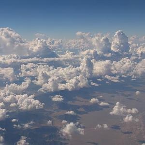 The large vertical development of altocumulus castellanus indicates instability in the mid-level of the lower atmosphere. As such, they can be an indicator of some heavy weather in the offing, especially if seen early on a sunny day. As the Sun produces convection currents rising from the ground, these can multiply the effect of the instability above. This can lead to afternoon showers, even thunderstorms.
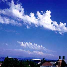
 Altocumulus castellanus doesn’t produce precipitation by itself, but can be a harbinger of weather to come.
Apropos of nothing, here’s a link to a moving video on the “If This Be Treason” blog. It’s only about three minutes long. It’s from Thailand, so turn down the volume and read the subtitles.
Moving Three Minute Short From Thailand
rjb