Cloud of the Day – Altocumulus Lenticularis
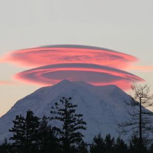
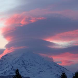
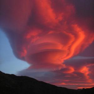
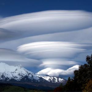
Altocumulus Lenticularis is one of my favorite clouds. They have such interesting shapes, and they look so dynamic, that I find them fascinating. Altocumulus Lenticularis clouds form by the combination of rising air, which causes a cloud to develop, and strong winds, which sculpt it into those dramatic shapes. These are the clouds that are most often mistaken for UFOs.
Altocumulus Lenticularis clouds form where there are waves in strong winds aloft. The waves are most often the result of the wind interacting with the topography. Just as you will see a standing wave form in a moving stream of water, so standing waves form in the air near mountains. The lenticular – lens shaped – clouds form at the top of the wave, providing that the air holds sufficient moisture, and the air is cool enough at that height to reach the dew point. Because the wave is associated with a fixed topographical feature, such as a mountain, the cloud remains fixed in the sky. This accounts for the counter-intuitive existence of a stationary cloud that is obviously being blown by strong winds.
Precipitation is possible, but rare from Altocumulus Lenticularis.
rjb


Those clouds are marvelous. I saw one sitting over one of the Maures and wondered how and why it had that enchanting and puzzling shape. Thanks professor for the explanation. 🙂
And the great photos.
My pleasure.
rjb
Some of those clouds remind me of UFO’s. Or what I am conditioned to think a UFO looks like. 🙂