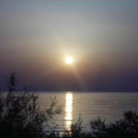
The high etage (over 20,000 feet) has a stratiform cloud type, just as the lower two do. Like the other layer clouds, cirrostratus forms in stable air with a high moisture content. Cirrostratus, along with cirrus and cirrocumulus, is often a harbinger of approaching weather. As warm air overtakes and slides up over cold air it creates the formation known as a warm front. The cirrus clouds lead the way at the highest extent of the warm, moist air. As the front approaches, we get progressively lower clouds until the front passes. It will be warmer then, but most likely wetter, too.
Cirrostratus is made of ice crystals. In addition to washing the color out of the sky, and obscuring the Sun or Moon to varying degrees, the ice crystals can do interesting things to their light. We’ll be looking at that in a later post. There is no precipitation from cirrostratus, but it can be an indicator of precipitation to come.rjb


I like those. They make me dream or bring dreams, I am not sure which, but I do get lost in their folds and patterns.
Thanks for the rainbows;-)
I guess you’re partial to the undulatus form of cirrostratus. Or maybe fibratus.
I like the way they play with light.
rjb
Yes to all of it. The undulatus is like sand ripples at the beach, silk falling on wood floors, the Med blown away by the breeze… and on an on.
Fibratus.. carded wool and hair tangles, cotton candy, sugarcane fiber, feathers and laughlines…
and the light… can’t wait to read what you write about that.